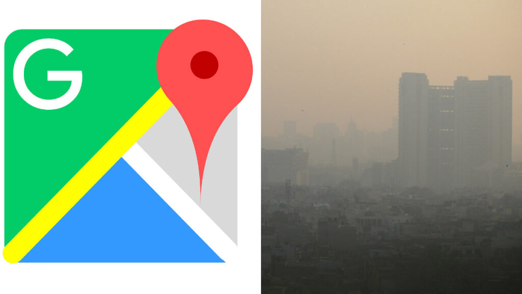
Google has recently enhanced Google Maps with a new feature that provides users with real-time air quality index (AQI) data. This feature is available in over 100 countries and offers hourly updates, helping people make informed decisions about their outdoor activities. The AQI data is color-coded, ranging from green (healthy) to dark red (highly polluted), making it easy for users to quickly assess air quality conditions in their area.
To access this feature, users need to update their Google Maps app to the latest version. Once updated, they can search for a location, tap the layers icon below the search bar, and select “Air Quality” to view the AQI for that area. This feature is available on both mobile and web versions of Google Maps, ensuring that users can get up-to-date air quality information wherever they are.
The introduction of this feature is a significant step towards promoting environmental awareness and public health. By providing accurate and timely air quality information, Google Maps empowers users to take necessary precautions and make safer choices about when and where to engage in outdoor activities. This addition aligns with Google’s commitment to leveraging technology for the betterment of society.


